Sam Coleman · 30 September 2026
Tracing the Footprints of Historical Storms in Modern Dune Landscapes of Peninsulas
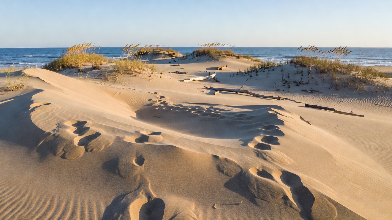
Peninsula dune systems record storm activity through distinct sediment layers, erosion scarps, and washover deposits that remain visible long after the events themselves subside. Researchers examine these features to reconstruct storm histories spanning centuries, while data from sediment cores and ground-penetrating radar reveal sequences of overwash sands interbedded with aeolian deposits. The Outer Banks of North Carolina and the Iberian Peninsula both exhibit such layered records, where coarser storm-driven sediments contrast with finer wind-blown material accumulated during calmer periods.
Formation Processes on Peninsula Coasts
Dunes on peninsulas develop through interactions between prevailing winds, longshore currents, and episodic high-energy events that redistribute sediment across backshore zones. Storms generate surges that breach foredunes and transport marine sands inland, creating fans and sheets that become buried under subsequent aeolian layers. Observers note that these deposits often contain heavy minerals and shell fragments diagnostic of marine origin, allowing differentiation from purely terrestrial accumulations. Studies along the Florida peninsula have mapped multiple generations of such features, each tied to documented hurricanes through radiocarbon dating of organic material trapped within the strata.
Identifying Storm Signatures in Dune Profiles
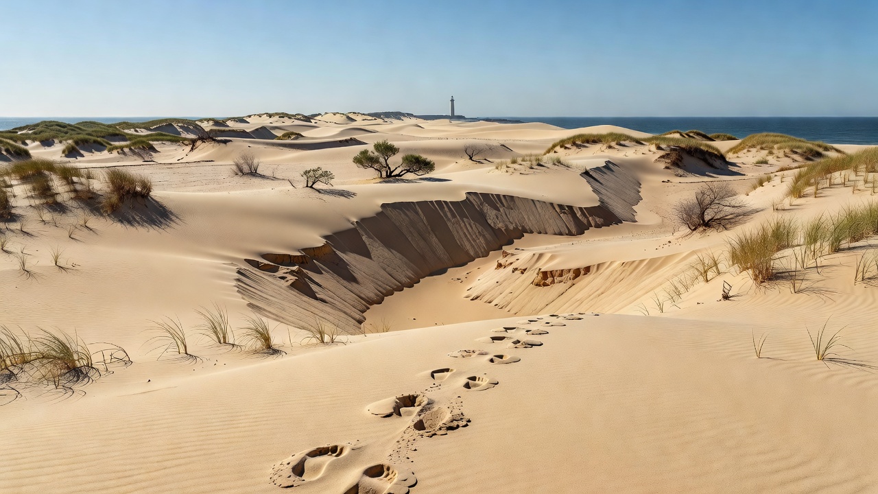
Distinct markers include abrupt changes in grain size, truncated bedding planes, and vegetation kill zones that mark the inland extent of surge waters. Geologists trace these footprints by correlating trench exposures with historical records, while GPR profiles display reflectors corresponding to storm-induced erosion surfaces. In September 2026 monitoring programs along several European peninsulas continued to document ongoing adjustments in dune morphology following earlier events, with new sediment sampling confirming the persistence of older overwash layers beneath active surfaces. And such work builds on established techniques that separate storm deposits from background sedimentation rates.
Regional Examples and Data Collection
Along the Delmarva Peninsula, surveys conducted by the United States Geological Survey have identified multiple storm horizons within dune sequences that align with major hurricanes from the nineteenth and twentieth centuries. Similar patterns appear on the Yorke Peninsula in Australia, where Geoscience Australia teams have collected cores showing shell-rich layers attributable to cyclone impacts. These records extend beyond instrumental data and provide context for frequency changes over longer timescales. Researchers combine LiDAR elevation models with stratigraphic data to quantify the volume of sediment moved during individual events, revealing how peninsula orientation influences surge penetration and deposit preservation.
Analytical Techniques and Chronology Building
Optically stimulated luminescence dating establishes the burial ages of quartz grains within storm layers, while foraminiferal assemblages confirm marine incursions. Teams integrate these results with tide-gauge records and documentary accounts to assign specific events to particular horizons. Peninsulas such as the Kola Peninsula in Russia and the Baja California Peninsula in Mexico have yielded comparable datasets, although local sediment supply and wave climate affect the clarity of preserved signals. The resulting chronologies help calibrate models of future coastal response, because past storm footprints demonstrate how dunes have recovered or remained altered following major disturbances.
Implications for Landscape Evolution
Modern dune landscapes on peninsulas continue to evolve under the influence of both recurrent storms and gradual changes in sea level and sediment budgets. Traces from earlier centuries remain legible in many locations because vegetation stabilizes surfaces and limits reworking, yet intense recent events can overprint older signatures. Monitoring programs track these dynamics through repeated topographic surveys that quantify net sediment movement. Data from multiple regions indicate that peninsula dunes often retain storm records more effectively than barrier islands due to their attachment to mainland sediment sources that replenish material between events.
Conclusion
Tracing historical storm footprints in peninsula dune landscapes combines field stratigraphy, geophysical imaging, and chronological methods to build detailed event histories. These records span pre-instrumental periods and supply context for interpreting contemporary coastal changes. Continued collection of sediment data and elevation measurements across diverse peninsula settings refines understanding of how storms shape long-term dune morphology and sediment distribution.