Cameron Walter · 16 September 2026
Examining the Connection Between Ocean Currents and Sand Accumulation Rates Along Peninsula Shores
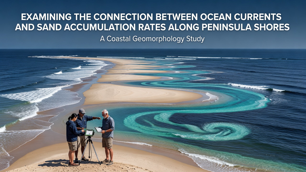
Coastal researchers track how ocean currents shape sand movement along peninsula shores because these dynamic systems determine where sediment settles and how beaches evolve over time. Currents carry suspended particles across long distances, and their interaction with wave patterns creates zones of deposition or erosion that change the shoreline profile. Data from satellite monitoring and field sensors show that accumulation rates vary significantly depending on current speed, direction, and the angle at which water approaches the coast.
How Currents Drive Sediment Movement
Ocean currents operate as steady transporters of sand grains, especially along the edges of peninsulas where water flow meets land protrusions. Longshore currents run parallel to the shore and shift sediment laterally, while rip currents pull material offshore in narrow channels. Studies of the Florida peninsula demonstrate that the Gulf Stream influences nearshore circulation, pushing sand toward certain inlets during seasonal shifts. Researchers measure transport volumes using sediment traps and current meters, revealing that even modest increases in current velocity can double daily sand movement rates.
Peninsula tips often experience accelerated accumulation because currents slow as they wrap around the landform, dropping their load in calmer water. This process builds spits and bars that extend the shoreline outward over years. Observers note similar patterns along the Iberian peninsula, where the Canary Current interacts with Atlantic swells to deposit sediment in predictable pockets.
Data Collection Methods and Recent Findings
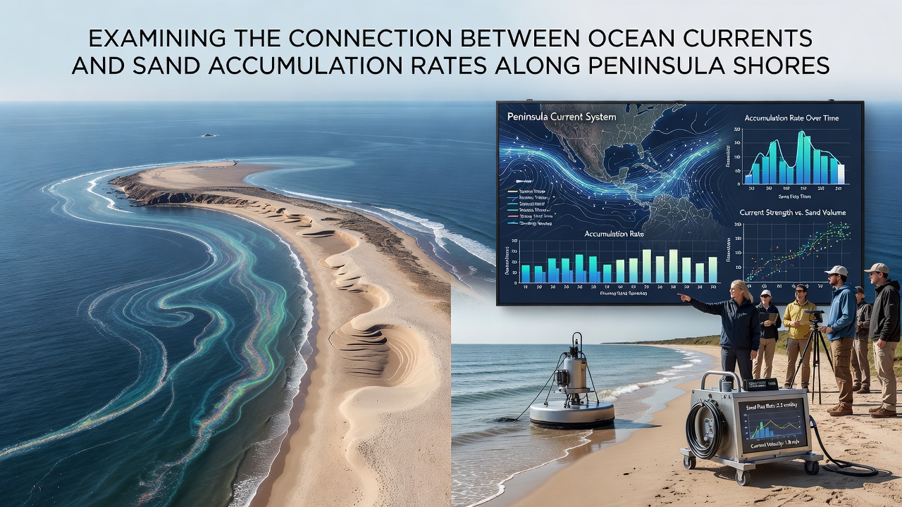
Scientists combine acoustic Doppler current profilers with LiDAR surveys to quantify both water movement and sand volume changes. These tools capture hourly variations that reveal how storm-driven current reversals can erase months of gradual buildup in a single event. According to reports from the National Oceanic and Atmospheric Administration, sediment budgets along many peninsula coasts show net accumulation when currents remain consistent for extended periods.
One long-term monitoring project along the Delmarva peninsula has recorded accumulation rates averaging several cubic meters per meter of shoreline annually under typical conditions. Yet during periods of stronger cross-shore flow, those rates drop sharply as sand moves into deeper water. Such measurements help coastal managers anticipate where nourishment projects will last longest.
Regional Variations Across Different Peninsulas
Geography creates distinct current regimes that affect each peninsula differently. The narrow shape of the Sinai peninsula allows Red Sea currents to sweep sand toward its southern tip, forming extensive depositional fans visible in bathymetric maps. In contrast, the broader outline of the Korean peninsula channels the Tsushima Current along its eastern flank, concentrating sand in sheltered bays rather than exposed points.
Researchers compare these sites using standardized protocols developed by international oceanographic networks. Results indicate that peninsula orientation relative to prevailing currents determines whether a shore gains or loses material. When currents strike at oblique angles, longshore drift dominates and sand travels farther before settling; head-on flows tend to build wider beaches through repeated onshore transport.
Seasonal Influences and Future Monitoring
Seasonal wind patterns modify current strength and direction, producing cycles of sand redistribution that repeat each year. Winter storms along the New England coast strengthen alongshore flow and move material southward, while calmer summer conditions allow partial return through weaker counter-currents. Satellite data released in September 2026 from a joint Canadian-Australian program confirmed that these seasonal swings maintain equilibrium on some shores while causing progressive growth on others.
Models that incorporate real-time current readings now forecast accumulation zones weeks in advance with increasing accuracy. Coastal agencies use these predictions to schedule maintenance and protect infrastructure located near active deposition areas. Continued deployment of autonomous underwater vehicles promises finer resolution of how small-scale eddies influence sand settling along complex peninsula shorelines.
Conclusion
Connections between ocean currents and sand accumulation along peninsula shores rest on measurable physical processes documented across multiple regions. Current velocity, direction, and interaction with coastal geometry control where sediment settles, producing observable changes in shoreline position and beach volume. Ongoing sensor networks and satellite observations continue to refine understanding of these relationships, supporting more precise management of dynamic coastal environments.